An Integrated Science excursion…
The Canning River is a large river that starts in the Perth Hills (actually not hills, but an escarpment) and flows through Perth to meet up with the Swan River. The mouth of the river is in Fremantle where the fresh water meets the ocean. The water in the Canning River comes mainly from the rain in the catchment area, run-off from roads, urban areas and the surrounding nature reserves. During high tides, spring tides and storms, the salt water from the ocean moves up the rivers, making the fresh river water brackish or slightly salty.
In 1911, the area around Kent Street Weir was mainly agricultural and the farmers noticed that the crops that received this brackish water did not grow so well and also the water that they drew from the river to drink tasted slightly salty. To stop the salt, they built a weir that allowed the fresh water to flow downstream but did not allow the brackish water to flow upstream past the weir. This weir is still there and in 2017 they rebuilt it to make it higher as the river used to flood over the old weir in winter and the brackish water would pass the weir.
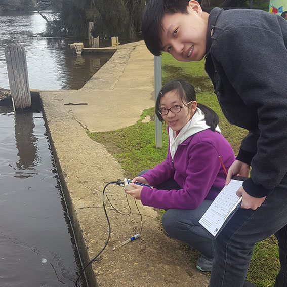
In summer, when there is not much water flowing down from the catchment area in the Perth Hills, one side of the weir is fresh water and the other side of the weir is brackish water. There is a distinct difference in the turbidity (clarity), temperature, acidity (pH) and amount of dissolved fertilizer of the water on each side of the weir.
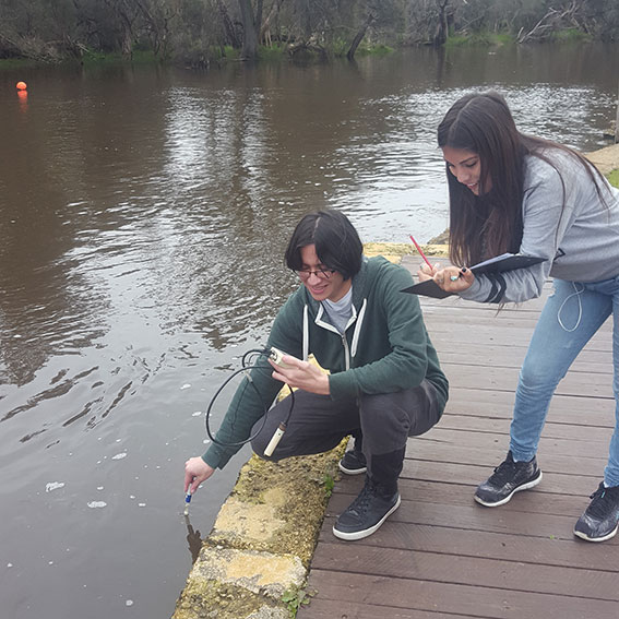
The year 11 Integrated Science class built mini remote operated vehicles (ROVs) in class, and recently took them out to Canning River Eco Education Centre and used them to collect water samples both above and below the weir.
After this excursion, the class will practice sustainability and carefully disassemble their mini ROVs and package them up so that the class next year can use the resources again without having to buy new again.